Seligman, Arizona did not survive by accident. It survived because a handful of people — led by a barber named Angel Delgadillo — decided to organize when the easier option was to accept the town’s decline and move on. Understanding Seligman’s history means understanding the three distinct economic eras that shaped it: the railroad era that created it, the highway era that sustained it, and the preservation era that, against considerable odds, saved it.
Origins: The Railroad Town
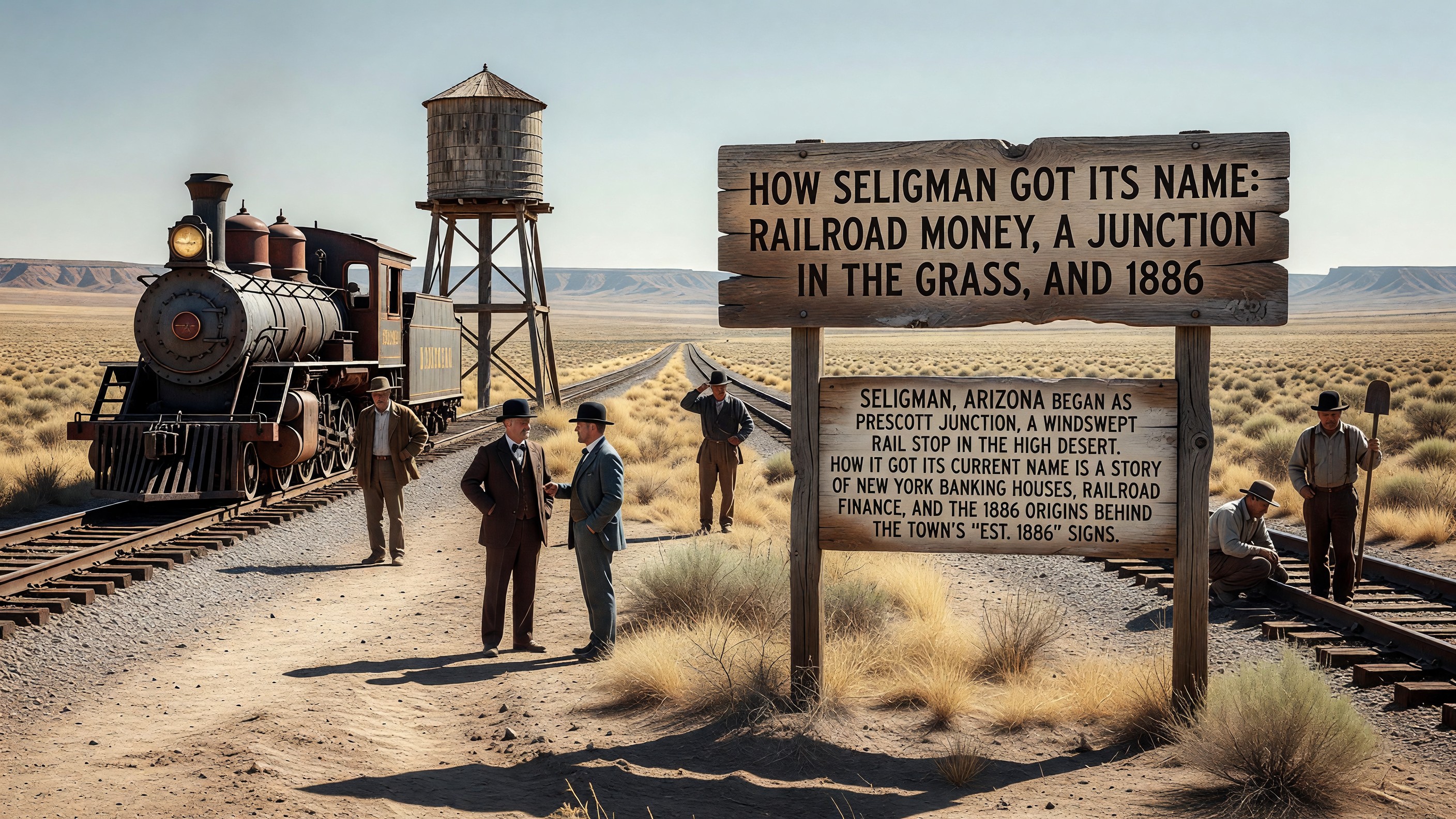
Seligman was established in 1886 as a division point on the Atchison, Topeka and Santa Fe Railway’s transcontinental line. The word “division point” carries specific meaning in railroad history: it was the location where locomotive crews changed, where engine maintenance was performed, and where the administrative infrastructure of railroad operations was concentrated for that stretch of track.
A division point had reliable employment. The Santa Fe’s Seligman operations included a roundhouse, a depot, facilities for the maintenance crews, and the supporting commerce that a reasonably stable workforce generates. Hotels, restaurants, service businesses — the economic infrastructure of a small but functioning town. The Fred Harvey Company established a lunch room and eventually a Harvey House at the Seligman depot, providing the quality food service that Harvey operations represented across the Santa Fe system.
The name came from Jesse Seligman, a New York banker and partner in the House of Seligman, which helped finance railroad development in the late 19th century. The naming was common practice in the railroad era — towns along new lines were named for investors, business partners, and civic figures whose goodwill the railroad sought. The town actually began under a different name entirely — the full story of how Seligman got its name, from Prescott Junction to the Seligman banking house, is its own chapter of railroad history.
The elevation — roughly 5,200 feet above sea level — placed Seligman in the high desert, in a landscape of juniper and pinyon pine that was dramatically different from the cactus-and-sand Arizona of popular imagination. The climate was moderate by desert standards: cold winters, warm summers, dry air year-round, and the kind of winter snowfall that surprised travelers who expected Arizona to mean desert heat at all times.
The Route 66 Era: Second Life
U.S. Route 66 was officially commissioned in 1926. Its path through Arizona followed, in large measure, the Santa Fe Railway alignment — the towns that existed because of the railroad became the towns on Route 66. Seligman’s position as a railroad division point translated directly into a Route 66 stop.
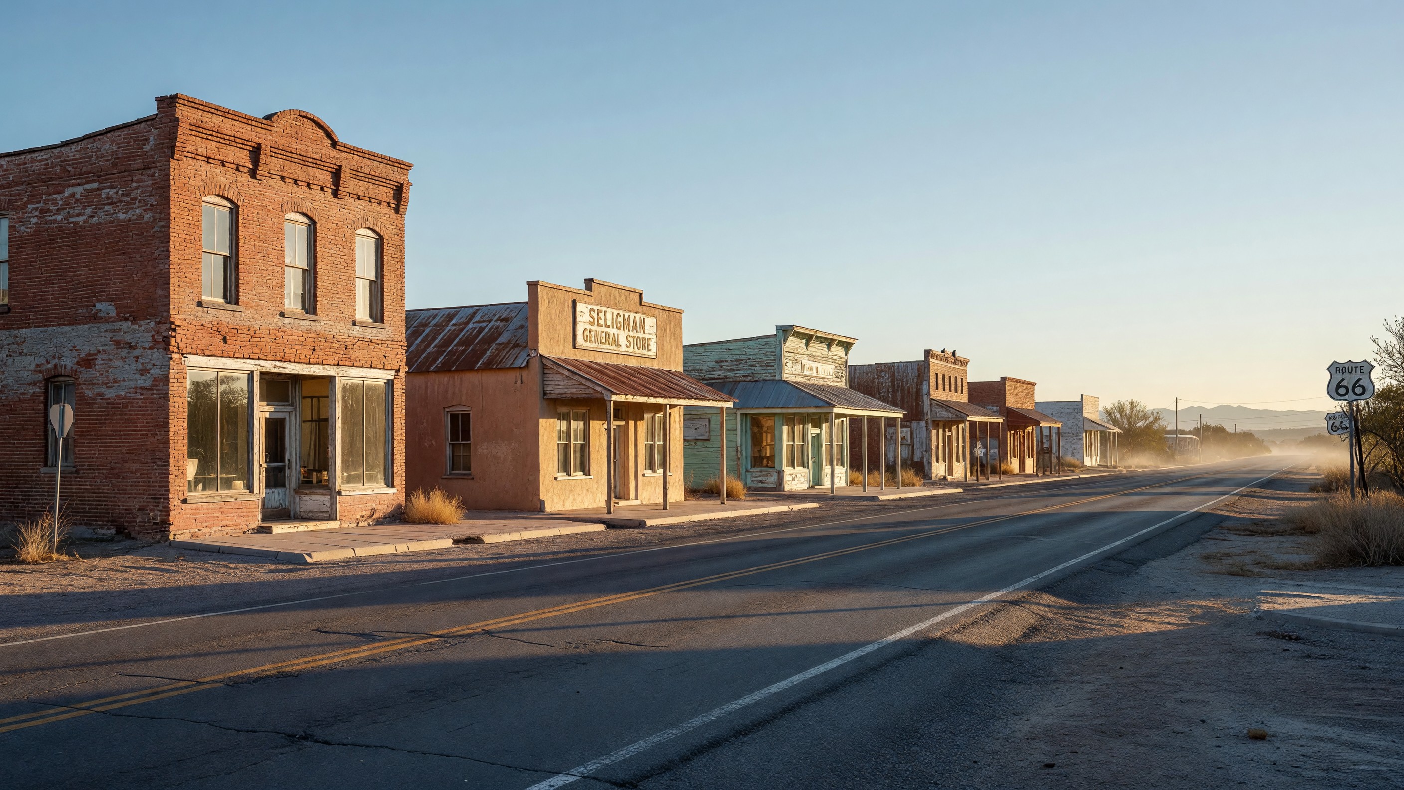
The highway brought a second stream of commercial activity layered on top of the railroad economy. Where railroad workers and passengers had been the primary customers, Route 66 added automotive travelers — tourists, migrants, truckers — who needed fuel, food, and accommodation. The commercial district on Route 66 through Seligman expanded to serve this traffic. Gas stations, motels, diners, and the supporting retail of a functioning highway stop established themselves along the main street.
The 1940s and 1950s were the height of this combined economy. The post-war American automotive culture generated enormous highway traffic, and Route 66 through Arizona carried people moving between the Midwest and California in both directions. Seligman’s commercial strip was active in a way that the town’s size alone would not have generated — its position on the most important east-west highway in the American West gave it economic heft disproportionate to its population.
The Harvey House on the main street represented the connection between the two eras: a remnant of the railroad economy that became part of the highway landscape, serving travelers who arrived by car rather than by train. The building that housed the Seligman Harvey operation is part of the historic commercial district that is now listed on the National Register of Historic Places.
Juan Delgadillo established the Snow Cap Drive-In in 1953, at the height of this period. A family business in a functioning commercial district, serving the traveler traffic that Route 66 delivered with regularity. His brother Angel had opened his barbershop three years earlier. These were straightforward small businesses in a town that had enough traffic to sustain them.
The Bypass: Near-Death
Interstate 40 bypassed Seligman in 1978. The economic consequences were immediate and severe, replicating a pattern that had already affected communities along the length of Route 66 as Interstate construction progressed through the 1960s and 1970s.
The through traffic — the travelers, the truckers, the migrants — shifted to the faster road within days of the Interstate opening. Gas stations that had operated for decades lost their customer base almost overnight. Motels that had been consistently occupied went dark. Restaurants that had served a steady flow of travelers found themselves with local customers only — a population far smaller than the business had been built to serve.
Over the years following 1978, Seligman contracted. Businesses closed. The population declined. The buildings that had housed Route 66 commerce stood empty or struggled on reduced economic footing. The town that had been a functioning highway stop became something between a ghost town and a survival — not fully abandoned, but visibly diminished.
Angel Delgadillo continued to operate his barbershop. He cut the hair of the people who remained. He watched the commercial district hollow out around him. He watched similar contraction in communities throughout the Arizona Route 66 corridor.
The Preservation Era: Improbable Revival
In February 1987, nine years after the bypass, Angel Delgadillo called a meeting at the Copper Cart restaurant. Sixty people came. The meeting produced the Historic Route 66 Association of Arizona, with Angel as its first president.
The strategy that Angel and his neighbors developed was specific: not to restore the highway to its former commercial purpose (that was not possible) but to reframe it as a cultural heritage destination. The highway was not economically obsolete — it was historically significant. The bypassed communities were not failures — they were the most authentic remaining evidence of a chapter of American history that had been largely erased by the Interstate.
This reframing required organization and persuasion. The founding meeting’s resolutions were sent to every governor in the Route 66 states. Similar associations formed in Illinois, Missouri, Kansas, Oklahoma, Texas, New Mexico, and California. The national coordinating body that eventually emerged — the National Historic Route 66 Federation — worked with federal agencies, state DOTs, and Congress to secure formal recognition for the highway as a heritage corridor.
The results, over the following decades, were significant: Route 66 designation as an All-American Road, the Route 66 Corridor Preservation Program at the National Park Service, National Register listings for historic commercial districts including Seligman’s, and the development of Route 66 tourism as a genuine economic force in states that had effectively written the old highway off.
The Pixar connection added an unexpected acceleration to this process. The 2006 release of Cars — a film whose central narrative was drawn substantially from Seligman’s bypass story — introduced the town to an audience that would not otherwise have known it existed. The film’s global reach produced visitors from Japan, Germany, Brazil, and Australia who came specifically because of Cars, discovered the actual history, and became part of the ongoing narrative of a place that had survived against considerable odds.
Angel Delgadillo, now in his late nineties, continues to be present at his barbershop in Seligman. His presence there is itself a kind of historical continuity — a person whose working life has spanned all three of Seligman’s economic eras, who has operated in the same building through the railroad’s decline, the highway’s peak, the bypass, and the revival. That continuity has a significance that no formal monument could replicate.
Frequently Asked Questions
Why was Seligman founded?
Seligman was established in 1886 as a division point on the Atchison, Topeka and Santa Fe Railway — the location where locomotive crews changed and engine maintenance was performed on the transcontinental line. The stable railroad employment supported a commercial district that formed the town’s original economic base.
Why is Seligman called the birthplace of the Route 66 preservation movement?
The Historic Route 66 Association of Arizona was founded at a meeting in Seligman in February 1987, organized by Angel Delgadillo. It was the first organization of its kind on Route 66 and its founding catalyzed the formation of similar associations in all Route 66 states, ultimately producing the national preservation framework and federal designation programs that have protected the highway’s heritage.
When did Interstate 40 bypass Seligman?
The Interstate 40 bypass of Seligman was completed in 1978. The bypass eliminated the through traffic that had sustained Seligman’s commercial district and produced an immediate and severe economic contraction.
What does the Seligman Commercial Historic District include?
The district encompasses the historic commercial buildings along Route 66 through Seligman — structures that date from the 1920s through the 1960s and collectively represent the architecture of a functioning Route 66 commercial stop. The listing on the National Register of Historic Places protects the district and makes it eligible for preservation incentives. Read the full account of the district listing.
Further Reading from Authoritative Sources
- National Park Service — Route 66 Corridor History — NPS historical documentation of the Route 66 corridor, including the development and decline of highway communities and the preservation movement.
- Britannica — U.S. Route 66 — Encyclopedia overview of Route 66’s history, its commissioning in 1926, its decommissioning in 1985, and its cultural legacy.