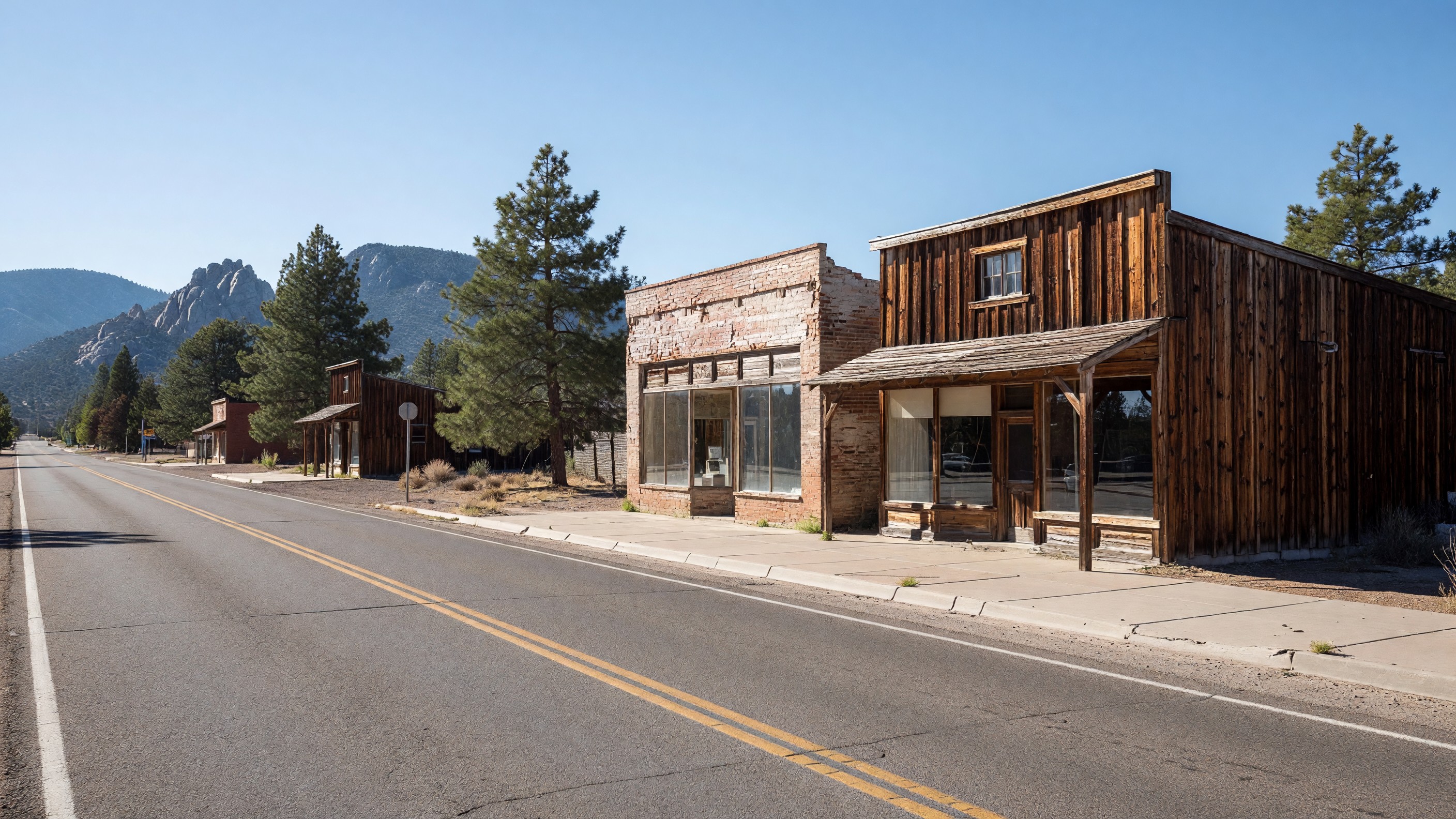
Most people picture Route 66 in Arizona as desert. The stretch between Williams and Seligman is not that, at least not from December through March. Williams sits at about 6,800 feet, Seligman at about 5,200, and the interstate between them crosses some of the most storm-prone highway in the state. A trip that takes a little over an hour in October can turn into a day spent waiting for a closure to lift in January.
None of that is a reason to avoid the corridor in winter. It is a reason to plan for it.
Why This Stretch Gets Winter Weather
Elevation does most of the work. The drop from Williams to Seligman is roughly 1,600 feet over a short distance, and the country in between, the climb past Ash Fork and the high plateau around Williams, catches Pacific storms that arrive from the southwest.
Williams averages somewhere around 70 inches of snow a year, based on long-term climate data published for the town, and the heaviest months are typically December through March. Seligman sees far less, but snow is entirely possible at its elevation, and overnight temperatures in midwinter routinely fall well below freezing. By the time you reach Kingman, at about 3,300 feet, winter usually looks very different.
The 2026-27 Outlook
This season carries a specific reason for attention. NOAA’s winter outlook, issued this fall, expects a very strong El Niño through the heart of winter and favors wetter-than-average conditions across the southern tier of the country. A National Weather Service Phoenix briefing earlier in the year noted that some of Arizona’s wettest winters have occurred during El Niño events.
That is a probability, not a forecast of any particular storm. It does mean a winter trip this season is more likely than usual to coincide with weather. The NOAA Climate Prediction Center updates its seasonal outlooks monthly.
What Closures Look Like
Interstate 40 between Williams and Ash Fork is the segment most often in the news when northern Arizona storms hit. Past closures on this stretch have been driven as much by crashes as by snow itself. In one widely reported storm, closures between Ash Fork and Williams followed multiple wrecks involving semi-trucks, and some drivers reported being stuck on the freeway for more than 12 hours. In a March 2012 storm, the Arizona Department of Transportation closed I-40 in both directions from Ash Fork all the way to Winslow.
Two things follow from that history:
- A closure can trap you on the highway, not just stop you from entering it. Once you are on the interstate between exits, you may wait where you are.
- Detours are long. When I-40 has closed west of Flagstaff, ADOT has routed traffic south on State Route 89, which means a lengthy loop rather than a quick bypass.
The Old Alignment Is Not an Alternate
West of Ash Fork, the historic road leaves the interstate at the Crookton Road exit and runs as a two-lane highway into Seligman. It is the reason most travelers make this drive. In winter, treat it as a slower and lonelier road rather than an escape route. It carries little traffic, services are sparse, and there is no reason to expect it to be clear when the interstate is not.
Preparing for the Drive
The Arizona Department of Transportation’s Know Snow guidance is the best single source for high-country winter driving. Its core advice:
- Check conditions before you leave and while you travel. Call 511 or use az511.gov, which shows closures, crashes and camera views along I-40.
- Keep the tank at least three-quarters full. If you get stuck in a closure, the engine is your heater.
- Carry an emergency kit. ADOT’s list includes blankets, extra clothes, a flashlight, an ice scraper, a small shovel, sand for traction, a reflective vest or hazard reflectors, water, food, any needed medications and a fully charged phone.
- Check the car first. Battery, heater and defroster, wiper blades, washer fluid and brakes.
- Give plows room. ADOT asks drivers to stay at least four car lengths behind a snowplow and not to pass one.
- Watch for black ice, especially at night and on bridges, which freeze first.
- Tell someone your route and when you expect to arrive.
For rental-car drivers coming from Phoenix or Las Vegas, the vehicle may not have winter tires. Ask at pickup, and build extra margin into the schedule.
Planning a Winter Trip Around the Weather
Build in a Flex Day
The most useful thing you can do is avoid locking the Williams-to-Seligman leg to a single date. If a storm is forecast, an extra night in Williams or Kingman costs far less than a night in the car on I-40.
Drive in Daylight
Winter days are short, and ice forms quickly after sunset. Plan to be off the high stretch before dark.
Expect Reduced Hours
Winter is the quiet season in Seligman. Some seasonal businesses along the corridor operate shorter hours or close for part of the winter. Call ahead if a specific stop matters to you, and do not count on a late lunch in a small town on a January weekday.
Use the Lower Elevation to Your Advantage
If the forecast looks bad, Kingman is the natural fallback. It sits about 3,000 feet lower than Williams and usually escapes the worst of the snow. The run from Seligman west through Peach Springs and Hackberry toward Kingman also drops steadily in elevation, which makes it the more winter-friendly half of the corridor. Our Seligman to Kingman guide covers that drive.
Is Winter Worth It?
For the right traveler, yes. The corridor is at its emptiest. Snow on the pinyon and juniper country around Ash Fork and Seligman is genuinely beautiful, and a clear day after a storm offers some of the best light of the year. Motel rooms are easier to find, and the towns feel more like towns and less like stops on a tour.
The trade-off is flexibility. Our guide to the best season for Route 66 in Arizona compares the seasons in more detail, and our Route 66 driving tips cover the basics that apply year-round. In winter, the rule is simple: check 511 before you leave, keep the tank full, and be willing to wait a day.